
Introduction
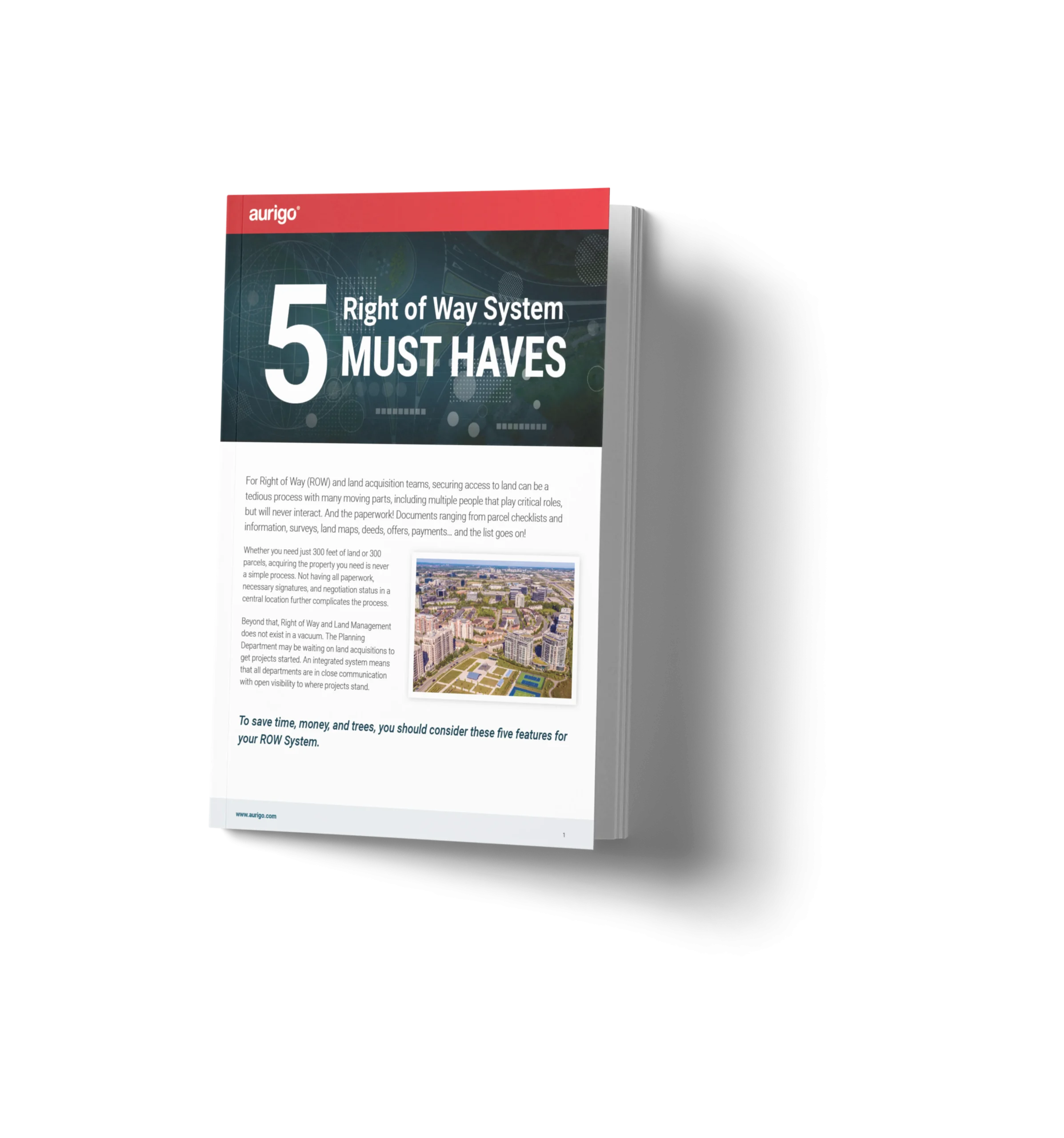
For Right of Way (ROW) and land acquisition teams, securing access to land can be a tedious process with many moving parts, including multiple people that play critical roles, but will never interact. And the paperwork! Documents ranging from parcel checklists and information, surveys, land maps, deeds, offers, payments… and the list goes on!
Whether you need just 300 feet of land or 300 parcels, acquiring the property you need is never a simple process. Not having all paperwork, necessary signatures, and negotiation status in a central location further complicates the process.
Beyond that, Right of Way and Land Management does not exist in a vacuum. The Planning Department may be waiting on land acquisitions to get projects started. An integrated system means that all departments are in close communication with open visibility to where projects stand.
The 5 must haves:
- ESRI/Mapping integration – View real-time land inventory and interests in one location.
- Mobile functionality – Access project information via a mobile app for convenience, efficiency, and accuracy.
- Contract & document management – Obtain and track approvals with a clear audit trail of revisions leading up to the final sign-off.
- e-Signatures & agreements – Collect and store signatures securely and electronically with the click of a button.
- Financial system integration – Plan with confidence using the latest data and comprehensive reports.
1. ESRI/Mapping integration
It’s hard to acquire land inventory if you don’t know where it is. When investing in a ROW management system, integration with your current GIS mapping system is a game-changing tool. Your team will have up-to-date mapping data at their fingertips, down to project-level detail. Users can see the project’s properties and interests in one location in real-time.
Clearly define project boundaries using ESRI ArcGIS to geo-tag and easily visualize project attributes at any scale. Having the capability to view land features, utilities, and parcels alongside acquisition and financial data will ensure your team can quickly and accurately make decisions. Easily pass information back and forth between the two systems so that all data is synchronized.
2. Mobile functionality
Paper forms for appraisals and surveys are a thing of the past with mobile apps for fieldwork. Along with being “greener,” this will speed up the process as the forms are processed in real-time while onsite. The system then stores all of the data together, making access to the information in the future simple.
You also gain the ability to schedule multiple appraisals per parcel with the various people and organizations involved. Create one survey for numerous people and see the time savings add up.
There will also be fewer human data errors without the need to re-enter data into the system from the paper surveys. Fewer human errors equal more time and cost savings.
3. Contract & document management
Right of Way projects are rarely a quick, simple process. With a time frame of months or even years, there is generally a lot of back-and-forth correspondence. You need a system that tracks approvals with a clear audit trail of revisions leading up to the final sign-off.
Acquiring land is a complex process. There are deeds, easements, and eminent domain cases to manage, not to mention all the offers and counteroffers. A Right of Way system should organize all this information by property in one single location to be readily accessible when needed. Create workflows to approve property values, offers, partials, and eminent domain documentation. The system should also be able to create notifications for internal and external users. Obtain necessary approvals and guarantees, so you never lose a signoff.
4. e-Signatures & agreements
Gathering physical signatures for every approval and update is no longer needed with digital signature capabilities. With DocuSign integration, collecting signatures securely and electronically is as easy as clicking a button. These signatures are stored within the system of record to easily organize them if they need to be accessed for any reason, even years in the future.
Templates for leases and other legal documents ensure the correct information is gathered and entered consistently for every project. Mail-merge capabilities can generate printer-friendly agreements without leaving the ROW system, ensuring the most recent version of the document is used.
5. Financial system integration
A good Right of Way software solution should easily integrate with other systems in your department. You’ll be able to plan with confidence, knowing that you’re working with the latest data and a comprehensive view of strategic priorities, projects, and costs all in one place. Manage payments to owners and automate financial tracking from your right of way management solution. You’ll be able to quickly analyze hold, lease, and improvement costs with real-time dashboards and reports when your systems are integrated.
The system should be able to export reports in various data formats and ensure all parties are working from the same version. Segmenting and grouping data at the program or project level provides you with the right level of detail. The system should also include a set of configurable dashboards that let you manage the critical aspects of your program from a single screen.
Learn more today
To see how Aurigo’s Masterworks solution can provide your land acquisition team with ESRI/GIS integration, financial system integration, on-the-go mobility capabilities, and contract/document management with real-time signature sign-off, schedule your free demo.