
Blog
Key benefits of right of way software for public agencies
Digitizing right of way transforms a fragmented, document-heavy process into a structured, transparent workflow. By improving data visibility and coordination, agencies can reduce delays, ensure compliance, and streamline infrastructure project delivery.


U.S. infrastructure is on the cusp of a major overhaul, partly due to the $1.2 trillion Infrastructure Investment and Jobs Act (IIJA), which will contribute $973 billion over the next five years to improve railways, seaports, airports, and more. As of 2024, $454 billion has been announced for various development projects, driving public agencies to gear up for new construction. However, it cannot begin until the right of way is secured for each project, which typically takes 18 to 24 months. Historically, right of way projects have depended on slow, cumbersome, and error-prone manual processes, contributing to inefficiencies and delays.
Effective oversight is essential for capital owners, as unresolved property issues, shared right of way, challenges in acquiring protected, environmental, and historic properties, and tenant and utility relocations can result in costly setbacks. Digitizing these processes with right of way software offers a powerful solution. It enhances productivity, minimizes errors, and simplifies complex negotiations for timely project delivery.
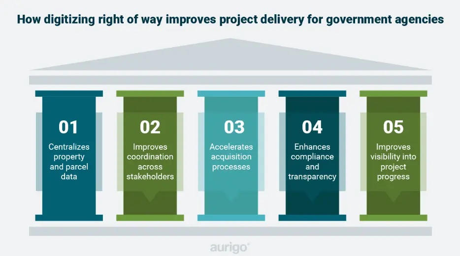
Benefits of real property management software
Gain complete visibility across all assets
A centralized platform offers oversight of all buildings and parcels—whether owned, leased, or under easement—across infrastructure, facilities, and project sites. Agencies can track ownership, location, annexations, prior rights, and parcel histories in one place. Configurable data entry forms capture specific details like title reports, appraisals, offers, escrows, condemnations, and more. Authorized users can also view parcel type and purpose (e.g., project, facility, floodway, canal), ensuring complete context for each asset.
GIS integration overlays real-time parcel data with zoning, infrastructure, and environmental layers, providing spatial insights. Geofencing alerts notify stakeholders of changes near parcels, while zoning law updates help maintain regulatory compliance. In addition, full audit trails and document versioning protect against legal risk and ensure transparency.
What are the advantages of digitizing right of way processes?
1. Manage complexities
Right of way processes involve negotiation and compromise between multiple parties, which often get messy and challenging. By employing online right of way software, you can gain insights into property ownership, asset visibility, property boundaries, and easements. This approach allows for streamlined handling of documentation, scheduling, communication, and budgeting. Digitizing the process can help you track multiple offers and counteroffers for each parcel, manage negotiations with landowners, and securely store key details, such as unique agreements, to ensure legal compliance and support auditing requirements. This information remains secure and readily accessible whenever needed, particularly if any issues arise. Additionally, cloud right of way software has the capability to function as a centralized hub, simplifying the right of way process by managing permit applications, securely storing signatures, and tracking approvals. This keeps your team informed with timely notifications on project updates. The system can also support relocation-related activities, enabling teams to manage payments to property owners and automate financial tracking once land acquisition deals are finalized.
2. Visualize your right of way
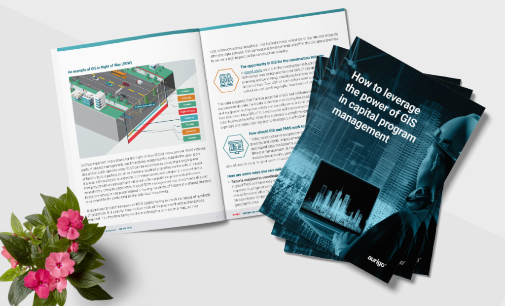
Acquiring land inventory can be challenging without precise location information, as each property requires a detailed assessment, valuation, offer, and negotiation process, often involving extensive paperwork. Integrating a Geographic Information System (GIS) with right of way management simplifies this process by visually displaying property-related data on a map and providing valuable context for decision-making and discussions. One of the many use cases of GIS integration is the ability to view land features, utility lines, water pipes, project boundaries, and other geographic data stored in systems like an ESRI database. This integration provides a visual representation that transforms lists of names and property IDs into contextually meaningful data that’s easier to understand. It also supports optimal route selection and right of way project planning without the need for repeated field visits.
3. Improved productivity and informed decision-making
Streamlining right of way management is essential, as appraisals and negotiations are traditionally time-consuming. McKinsey estimates that improving operational efficiencies through digital management could boost productivity by $725 billion to $765 billion across various levels of government, underscoring the transformative potential of digitization. Adopting right of way software allows you to centralize preliminary designs, purchase agreements, and appraisals into a unified platform, eliminating manual paperwork and accelerating land acquisition. This shift ensures reliable and timely acquisitions. Leveraging technology in your right of way process also provides teams with early notifications, enabling effective collaboration with environmental project managers to create schedules that account for required documentation. This proactive approach ensures that all necessary steps are completed on time and with ease, thereby minimizing delays, enhancing efficiency, and keeping projects on track.
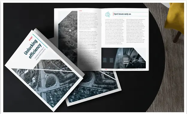
4. Spot issues early on
Standard and custom-configured workflows and stakeholder collaboration tools allow you to identify potential issues early in the right of way process, helping you easily navigate complexities. Unlike Excel spreadsheets that often operate in isolation, right of way software for owners consolidates critical property information, including ownership details, visible assets, boundaries, and easements, into a secure, permission-based environment. This centralized approach provides immediate access to essential data, helping teams anticipate acquisition complications and optimize capital program management. Additionally, digitizing your right of way process helps you swiftly identify challenges with properties governed by Section 4(f) of the United States Department of Transportation (USDOT) Act, monitor the status of the National Environmental Policy Act (NEPA) procedures, and evaluate the need for potential relocations. By promptly sharing this critical information with stakeholders, your team can address potential obstacles before they escalate, leading to successful outcomes.
Final thoughts
Deploying a software solution that fits your right of way process needs should help streamline appraisals, ensure legal compliance, and accelerate negotiations. Masterworks Right of Way is designed to help you manage the end-to-end parcel acquisition process, minimize risks by eliminating paper forms, and efficiently handle project timelines with automated processes. Finding a suitable partner to help you achieve these goals can be challenging, but the benefits are substantial.
You might like
Frequently asked questions
Why is right of way management critical in infrastructure projects?
Right of way (ROW) processes directly impact project timelines, costs, and compliance. Delays in acquisition, documentation, or approvals can stall entire programs, making effective ROW management essential for successful project delivery.
What challenges do agencies face with traditional ROW processes?
Manual and paper-based systems create fragmented data, limited visibility, and slow coordination between stakeholders. These challenges increase the risk of delays, compliance issues, and inefficiencies across projects.
How does digitization improve right of way management outcomes?
Digitization centralizes property data, automates workflows, and integrates GIS capabilities for better visualization. This enables agencies to track progress in real time, streamline acquisitions, and improve decision-making across the ROW lifecycle.